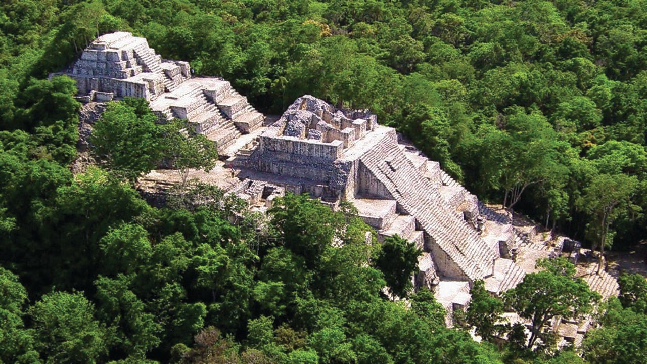
Pietro Miotti says AI agents found a Maya site in Mexico that was missing from the government's register1. On Nov. 11 Miotti added a correction: archaeologists had mapped the place already.
Miotti's update says the agents missed the published study while they searched the literature. The agents "rediscovered it rather than discovered it," Miotti writes.
If you hand research to AI agents, the miss is the useful part of this story. The agents pointed at a place that experts had also picked out. What failed was the check that asks whether anyone had seen it before.
The post is open about its author's limits. "Disclaimer: I'm not an archaeologist," Miotti writes1. Everything below about the test comes from that post. Ai Lately worked from that post and the studies cited at the end.
What the Agents Did
Miotti was traveling in Peru on Oct. 18, asking Gemini about local history1. A brainstorm followed with "a few agents (Gemini, ChatGPT, Claude and Grok)" on how to find ruins hidden under jungle. All four said lidar.
Lidar is a laser scanner flown on a plane. Its pulses pass through gaps in the tree canopy and map the ground below1. A satellite photo shows only the trees.
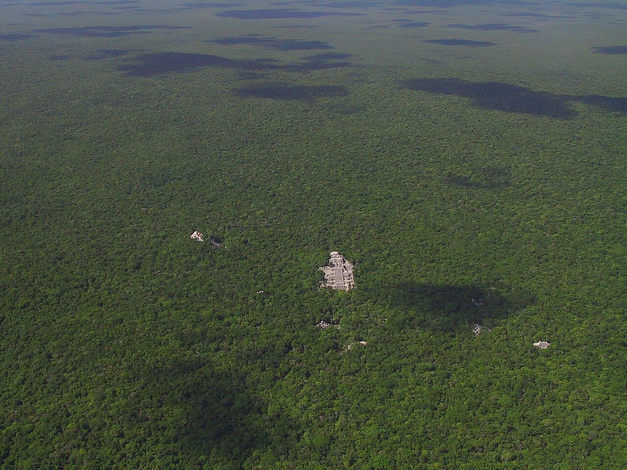
Public lidar covers Peru thinly. Miotti turned to the Maya region instead, a place the post calls "much better covered by public lidar"1. That night Miotti asked the agents to analyze it.
By Oct. 19 the agents had reports on "lots of villages and other regular shapes"1. Miotti says they turned "the lidar strips (about 1,200 km² of jungle) into images, and 48 agents went through them one by one." They looked for pyramids, platforms and plazas. They filtered out hills, sinkholes and roads.
The setup was plain. "There was no special model or classifier involved: the agents literally looked at the pictures, following a precise guide," Miotti writes1. The post leaves out which model read the images. It names Gemini, ChatGPT, Claude and Grok only for the Oct. 18 brainstorm.
Then came a check. "Please check which of these villages haven't been discovered yet. Search both the literature and the archives," Miotti wrote1. Hours later, Miotti says, an agent replied: "One major village doesn't seem to have been registered."
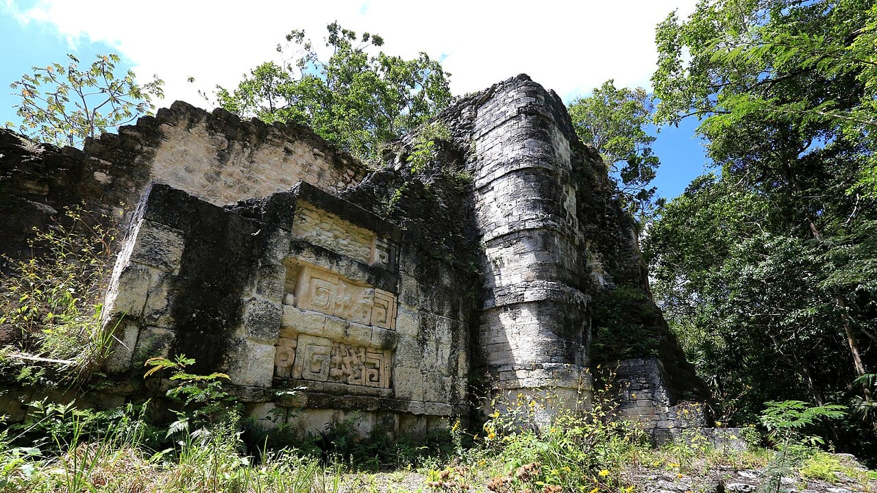
Miotti describes that village as a hilltop on a cliff edge under the jungle1. It has a levelled plaza and a raised courtyard. Its features also include an oval pyramid "at least 8–12 m tall" and a flat-bottomed hollow that "might have been a water reservoir," Miotti says.
The reading of the site is speculation, "from a long chat with the agents," Miotti writes. Miotti guesses a small civic centre from the Classic period, roughly AD 250 to 900. The post quotes only Miotti and the agents on that reading.
Three Days, Then a Correction
On Oct. 20 Miotti revised the report and had the agents translate it into Spanish. "I don't speak Spanish, so I had to trust the agents on that one," Miotti writes1. The agents also checked the raw laser points. Miotti says the ground, under 10 to 17 metres of forest, traced the plaza, the pyramid and the courtyard.
Miotti sent the report to INAH, Mexico's National Institute of Anthropology and History1. The coordinates "went in a confidential annex." Ai Lately worked from the post alone. Which site this is, and whether it overlaps the 2025 study, stays unchecked here.
INAH replied on Oct. 21. Miotti captions the reply: "no registered archaeological site was identified at the location given in your report"1. Ai Lately worked from that caption alone.
On Nov. 11 Miotti added an update to the top of the post1. It says the site "had already been mapped in Estrada-Belli et al. 2025." The post's headline counts 72 hours from the first idea to the government's reply.
3 days from an idea to a government reply, then a correction
Pietro Miotti's own account of Oct. 18 to Oct. 21, 2026, and the Nov. 11 update to his post
Each dot is one dated step in Miotti's account; the magenta dot is the Nov. 11 update that says a 2025 study had already mapped the site.
Source: pietromiotti.com [1]. Chart by Ryan Elliott Dennis.
The numbers behind this chart
| Date | Event |
|---|---|
| Oct. 18, 2026 | Idea in Peru. Miotti brainstorms with four AI tools and asks agents to analyze Maya lidar that night |
| Oct. 19, 2026 | Agents flag the site. 48 agents read about 1,200 square kilometers of lidar images |
| Oct. 20, 2026 | Report sent to INAH. A Spanish report, with the coordinates in a confidential annex |
| Oct. 21, 2026 | INAH replies. The post captions the reply as an empty register at the location |
| Nov. 11, 2026 | Post says it was mapped. The update says the Estrada-Belli 2025 study had already mapped it |
Where the Check Failed
Two checks gave two answers about one hilltop. INAH's register was blank at that location, per the reply as Miotti captions it1. The literature already held the place, says the update.
A register lists the sites a government has on file. Published papers list what researchers have found. The two can differ. Miotti's update says "it just wasn't in the register of Mexico's National Institute of Anthropology and History, INAH, yet"1.
Look at the agent's reply. Miotti asked about the literature and the archives. The line the post prints speaks of registration: "One major village doesn't seem to have been registered." That is all the post shows of the exchange.
The post also leaves out how the agents searched the literature and which sources they used1. It leaves open why the agents missed the 2025 study and which part of it covers the site. Those are the details a reader would need to judge the next check.
What Lidar Surveys Have Found
Researchers have turned reused laser surveys into Maya settlement maps before. In October 2024, Tulane University researchers Luke Auld-Thomas and Marcello Canuto published a study in Antiquity3. They surveyed 50 square miles of Campeche, about 130 square kilometers, "an area largely overlooked by archaeologists." They found "more than 6,500 pre-Hispanic structures, including a previously unknown large city complete with iconic stone pyramids."
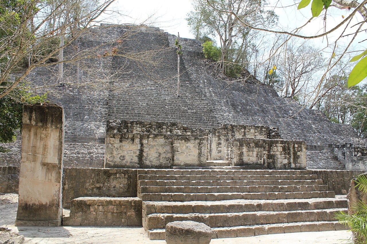
The Antiquity abstract, by Auld-Thomas and colleagues, points to "'Found' datasets from remote sensing conducted for non-archaeological purposes and thus not subject to archaeological site bias"4. Its authors say the dataset "reveals previously unrecorded urbanism and dense regional-scale settlement." One author, Adriana Velázquez Morlet, is affiliated with INAH.
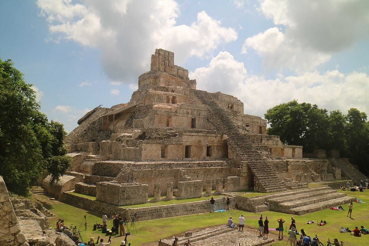
In July 2025 Francisco Estrada-Belli of Tulane led the larger study, the one Miotti's update links2. It appeared in the Journal of Archaeological Science: Reports, with Canuto, Ivan Šprajc and Juan Carlos Fernandez-Diaz as co-authors5. The team merged public and private surveys, including "reanalyzed environmental lidar collected by NASA's Goddard Space Flight Center." Its map covers 95,000 square kilometers. Estrada-Belli's team estimates that 9.5 million to 16 million people lived there in the Late Classic period, 600 to 900 CE.
Set the three survey areas side by side and Miotti's slice looks small. Those strips cover about 1,200 square kilometers1. Auld-Thomas's 2024 survey covers about 1303. Estrada-Belli's 2025 map covers 95,0002.
By Ai Lately's arithmetic, Miotti's strips equal about 1.3 percent of the 2025 study's area. The surveys cover different places and years, so the figure compares size only.
Miotti's lidar strips cover about 1 percent of the area the 2025 study mapped
Area covered by each lidar survey, in square kilometers; the 2024 figure is Ai Lately's conversion of 50 square miles
Each bar is the area one survey covers: the magenta bar is Miotti's strips, and the two blue bars are the Tulane studies from 2024 and 2025.
The 2024 bar is an estimate, a conversion of 50 square miles. The surveys cover different places and years, so the bars compare size only.
Sources: pietromiotti.com [1]; Tulane University [2]; Tulane University [3]. Chart by Ryan Elliott Dennis.
The numbers behind this chart
| Item | Value | Note |
|---|---|---|
| Maya lowlands, 2025 | 95,000 km² | |
| Miotti, 2026 | 1,200 km² | |
| Campeche, 2024 (estimate) | 130 km² | 50 square miles, converted |
Two Readings
One reading says the agents fell short, and Miotti makes that case. "The agents missed it while going through the literature, so they rediscovered it rather than discovered it," Miotti writes1.
The other reading says the method works. Auld-Thomas said so after the team found the Campeche city3. "The government never knew about it; the scientific community never knew about it. That really puts an exclamation point behind the statement that, no, we have not found everything, and yes, there's a lot more to be discovered." In that case both checks came back empty. In Miotti's case they split.
Miotti draws a hopeful lesson1. "I guess that's a good sign: an outsider with agents ended up in a similar place to the experts," Miotti writes. The post adds, "You can just do things."
Both readings can hold. Agents and lidar can point at real places. A claim of something new still needs both checks to agree.
What to do
When an agent says something is new, ask it to list every source and search it used. Then open the newest paper on the topic yourself and check the overlap.
Show the result to a named expert before you tell anyone else. A working researcher knows what the literature already holds.
What to watch
Miotti writes that an update will follow if anything comes out of the report1. Watch for two details: how the agents searched the literature, and which part of the 2025 study covers the site. The post leaves both open. Because the coordinates stay private, Ai Lately leaves both unchecked.
Sources
- Pietro Miotti, "My AI Agents (Re)discovered a Maya Site in 72 Hours," pietromiotti.com, last edited Nov. 11, 2026. https://pietromiotti.com/latest/maya-site/
- Tulane University, "Ancient Maya population may have topped 16 million, Tulane research shows," July 29, 2025. https://news.tulane.edu/pr/ancient-maya-population-may-have-topped-16-million-tulane-research-shows
- Tulane University, "Have we recovered all the major Maya cities? Not even close, new research suggests," Oct. 29, 2024. https://news.tulane.edu/pr/have-we-recovered-all-major-maya-cities-not-even-close-new-research-suggests
- Auld-Thomas et al., "Running out of empty space: environmental lidar and the crowded ancient landscape of Campeche, Mexico," Antiquity, Oct. 29, 2024. https://www.cambridge.org/core/journals/antiquity/article/running-out-of-empty-space-environmental-lidar-and-the-crowded-ancient-landscape-of-campeche-mexico/FFDB435047017853F26CFC5D8804B08D
- Estrada-Belli, Canuto, Šprajc and Fernandez-Diaz, "New regional-scale Classic Maya population density estimates and settlement distribution models through airborne lidar scanning," Journal of Archaeological Science: Reports, vol. 66, 2025. https://doi.org/10.1016/j.jasrep.2025.105288